


City team

Country/Regional mentor

Support provided by the Global Observatory of Healthy and Sustainable Cities team

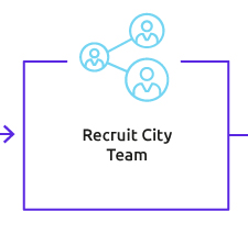
1
Recruit city team

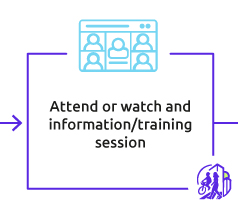
2
Attend or watch and information/training session

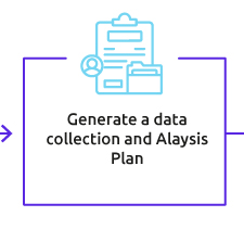
3
Generate a data collection and Analysis Plan

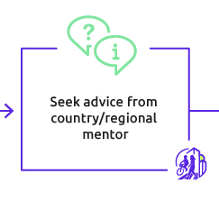
4
Seek advice from country/regional mentor

5
Collect data

6
Compute spatial and policy indicators using our Indicators Software

7
Validate your results

8
Submit data, Scorecard, and Report for inclusion on the GOHSC website

9
Present results to local policy makers and relevant actors to inform goal-setting and progress tracking

10
Plan periodic reassessments to monitor progress